Why it matters
Daylight is a finite planning resource, and twilight is not the same as clear safe travel light. Terrain, weather and trees can darken a route earlier than a published sunset time.
What you’ll need
Tools
- Current map or chart
- Notebook and pencil
- Compass for verification
Materials
- Familiar safe observation area
Before you begin
Safety & limits
- A hand-width or finger count is too variable to guarantee a safe return.
- Use a real lamp and route plan if there is any chance of travel in darkness.
Work carefully, in order
The method
- 01
Prepare
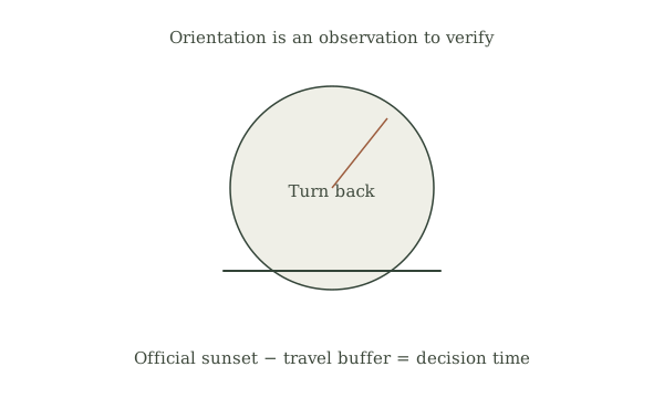
Check the date, coordinates and time zone in an official sunrise and sunset table. Treat the result as a preliminary observation and compare it with the linked official guidance before using it in a trip plan.
- 02
Identify
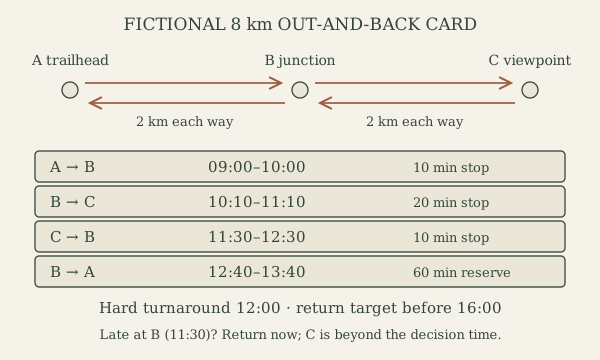
Compare the listed sunset with the route duration and realistic return time. Treat the result as a preliminary observation and compare it with the linked official guidance before using it in a trip plan.
- 03
Measure
Add time for rests, navigation mistakes and terrain that may slow the group. Treat the result as a preliminary observation and compare it with the linked official guidance before using it in a trip plan.
- 04
Cross-check
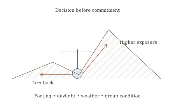
Set a turnaround earlier than the limit and note shaded valleys or deteriorating weather. Treat the result as a preliminary observation and compare it with the linked official guidance before using it in a trip plan.
- 05
Record
Tell the group the decision time, carry a reliable light and turn back if progress falls behind. Treat the result as a preliminary observation and compare it with the linked official guidance before using it in a trip plan.
Mistakes to avoid
- Using an old or rescaled map without checking its legend
- Treating an approximate observation as an exact position
- Ignoring weather, terrain or a safe turnaround time
If it isn’t working
Two direction clues disagree
Stop in a safe known area, check the map orientation and measurement, and use a reliable compass or qualified local advice before proceeding.
Conditions hide the expected landmark or sky
Do not guess: use an established route and another verified navigation method, or turn back to a known point.
Then & now
Historical context
Seasonal daylight estimates helped organize travel and work; modern astronomical tables give a better local baseline.
The modern equivalent
Current official mapping, trip alerts and a maintained navigation device can complement field observations; keep an independent map and a plan for loss of power or signal.
Sources & review
Editorial draft — specialist review pending. Written 2026-09-24. Sources support the stated scope; this page has not been professionally certified.
- U.S. Naval Observatory — Time planning ↗
Primary educational or planning source for the method and its limitations. Checked 2026-09-24.
- National Park Service — Time planning ↗
Primary educational or planning source for the method and its limitations. Checked 2026-09-24.