Why it matters
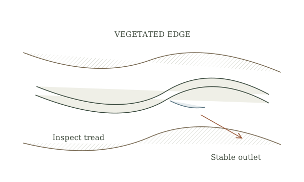
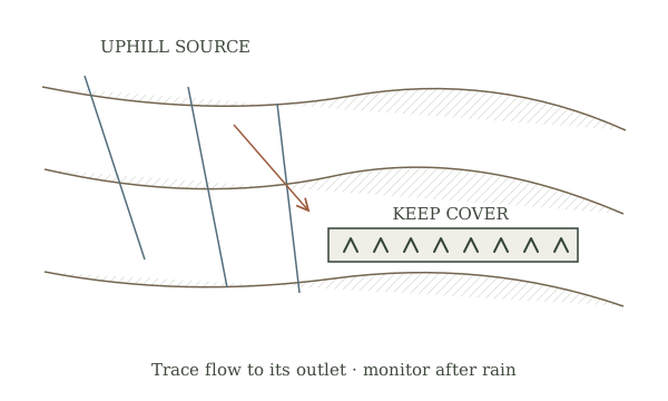
Erosion is a symptom of moving water, exposed soil, traffic or failed vegetation. Treating only the visible gully may shift sediment and runoff onto a neighbor, stream or building. A small observation map helps distinguish sheet wash, rills, concentrated flow and muddy traffic.
What you’ll need
Tools
- Notebook
- Camera
- Map
Materials
- Existing ground cover
- Locally appropriate seed or mulch
Before you begin
Safety & limits
- Stay out of active channels during storms. Seek qualified drainage or conservation help for gullies, steep slopes, retaining works, stream banks or runoff affecting structures and neighboring land.
- Check local requirements before grading, redirecting water or working in a watercourse. Call the utility locator before digging.
Work carefully, in order
The method
- 01
Map the source and outlet
Walk the area in dry weather, then observe from a safe location during or after rain. Mark bare patches, roof discharge, tracks, rills, sediment deposits and where water ultimately leaves the property. Photograph the same points after each storm; do not assume the lowest-looking spot is the only flow path.
- 02
Separate sheet flow from concentrated flow
Diffuse shallow wash across a bed suggests cover and soil-structure problems. A deepening channel or sudden fan of sediment suggests concentrated water that needs a drainage assessment. Note whether a road, gutter, livestock route or compacted area is sending extra water to the problem.
- 03
Protect exposed soil
Keep existing roots where possible. On small disturbed patches, choose locally appropriate temporary cover, mulch or establishment methods and protect them from washout. Do not pile loose soil or debris in a flow path. A vegetated filter strip works only when water reaches it as dispersed flow.
- 04
Reduce pressure on recovering ground
Move repeated foot or animal traffic away from wet, vulnerable patches where feasible. Mark the area and allow plants to establish. If water is still carving a channel, stop adding surface treatments and ask a conservation or drainage professional to diagnose upstream flow.
- 05
Review after several storms
Compare the marked photographs and look for new rills, buried plants, sediment beyond the boundary and ponding near structures. Record what held and what failed. An apparent improvement in one place is not success if the water simply erodes another place.
Mistakes to avoid
- Filling a gully without addressing its upstream water
- Sending runoff toward a neighbor
- Mistaking a decorative strip for a designed drainage system
If it isn’t working
Mulch washes away
Identify whether runoff is concentrated before replacing it; seek site-specific guidance for a stable flow path.
New sediment appears below the repair
Pause work and map the outlet and downstream impacts with a conservation professional.
Then & now
Historical context
Terraces, grass strips and contour farming have long slowed soil loss. Modern conservation planning adds watershed context, permits and site-specific grades.
The modern equivalent
Conservation district mapping, soil tests and engineered drainage plans can guide interventions beyond surface cover.
Sources & review
Editorial draft — specialist review pending. Written 2026-09-28. Sources support the stated scope; this page has not been professionally certified.
- USDA NRCS — Solutions for small-scale farms ↗
Cover, vegetative barriers and conservation assistance. Checked 2026-09-28.
- USDA NRCS — Filter strip ↗
Dispersed runoff, sediment and vegetation. Checked 2026-09-28.
- Oregon State University Extension — Pasture and grazing management ↗
Bare ground, trampling and regrowth. Checked 2026-09-28.